 Catálogo de Metadados Geográficos
Type of resources
Available actions
Topics
Keywords
Contact for the resource
Provided by
Years
Formats
Representation types
Update frequencies
status
Scale
-

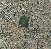
Cobertura vegetal com base na imagem de satélite (Landsat 7 de 03/09/1999).
-

Identificação da localização dos Consulados.
-
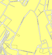
As Quadras viárias são polígonos fechados, normalmente gerados a partir da restituição dos meios-fios e das linhas de delimitação do leito carroçável. Nas escalas 1:1.000 para área urbanizada e 1:5.000 nas áreas com baixa ou nenhuma ocupação. Processo feito por restituição fotogramétrica por recobrimentos aéreo nas escalas 1:5.000 e 1:20.000.
-
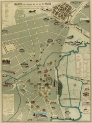
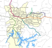
Mapa da capital da província de São Paulo, 1877, de F. de Albuquerque e Jules Martin. Planta "turística" da cidade de São Paulo, que mostra a área então urbanizada, seus principais edifícios e instituições. Registra as ferrovias: São Paulo Railway ("para Jundiahi e Campinas") e a Estrada de Ferro Sorocabana ("para Sorocaba e Ipanema"). A planta inclui também indicações sobre a primeira linha de bondes de tração animal, que ligava o centro da cidade às estações, com um prolongamento sobre a Avenida Tiradentes. Secundariamente, é registrada a presença de um "ônibus" de tração animal, percorrendo o aterrado do gasômetro, em direção ao Brás. Como não há indicação dos lotes em cada quadra ou diferenças entre as quadras ocupadas e as não edificadas, a planta não permite uma comparação mais detalhada com as da mesma época, para saber o estado de crescimento da cidade naquele momento.
-

Fotos aéreas ano de 2000, na escala 1:6000, disponibilizadas para download. Para realizar o download, clicar na ferramenta "Pesquisar" (lupa) e aba Download Imagens/MDC.O download poderá ser realizado inserindo o código da faixa ou selecionando no mapa a área de interesse. Uma foto aérea é uma fotografia, a qual foi obtida por meio da utilização de uma câmera rigorosamente calibrada, com distância focal e demais parâmetros conhecidos. A foto aérea possui uma projeção cônica e pode passar por uma série de tratamentos fotogramétricos.
-
Ortofotos de 2010 (RGB) da EMPLASA - Empresa Paulista de Planejamento Metropolitano SA. Ortofoto em RGB é a composição colorida com as bandas Red-Green-Blue (RGB, sistema de cores aditivo que usa as cores vermelho (Red), verde (Green) e azul (Blue) para reproduzir cores em dispositivos eletrônicos). Ortofoto é uma representação da superfície terrestre, obtidas através de fotografias aéreas, corrigida de distorções geométricas por meio de técnicas de fotogrametria e geoprocessamento. Esse processo considera a topografia do terreno e a inclinação da câmera, garantindo que os objetos estejam em suas posições corretas e a escala seja uniforme. São recortadas segundo a articulação do Sistema Cartográfico Metropolitano - SCM.
-
Segmentos de Logradouro editados pela Secretaria da Fazenda - SF, com origem na execução do mapeamento digital da cidade e plantas de arruamento e CADLOG - Cadastro de Logradouros.
-
Linhas de trem da Companhia Paulista de Trens Metropolitanos (CPTM) e empresas concessionárias.
-
O Território de Interesse da Cultura e da Paisagem (TICP) é um dos instrumentos de gestão do Sistema Municipal de Patrimônio Cultural estabelecidos no artigo 313 do Plano Diretor Estratégico (PDE) – Lei nº 16.050/2014. Conforme artigo 314 do PDE, Territórios de Interesse da Cultura e da Paisagem são áreas que concentram grande número de espaços, atividades ou instituições culturais, assim como elementos urbanos materiais, imateriais e de paisagem significativos para a memória e a identidade da cidade, formando polos singulares de atratividade social, cultural e turística de interesse para a cidadania cultural e o desenvolvimento sustentável, cuja longevidade e vitalidade dependem de ações articuladas do poder público. Nesta camada estão delimitados os perímetros dos Territórios de Interesse da Cultura e da Paisagem: Bixiga, Jaraguá/Perus e Paulista/Luz, que são os únicos TICPs com delimitação descrita em lei ou decreto.
-
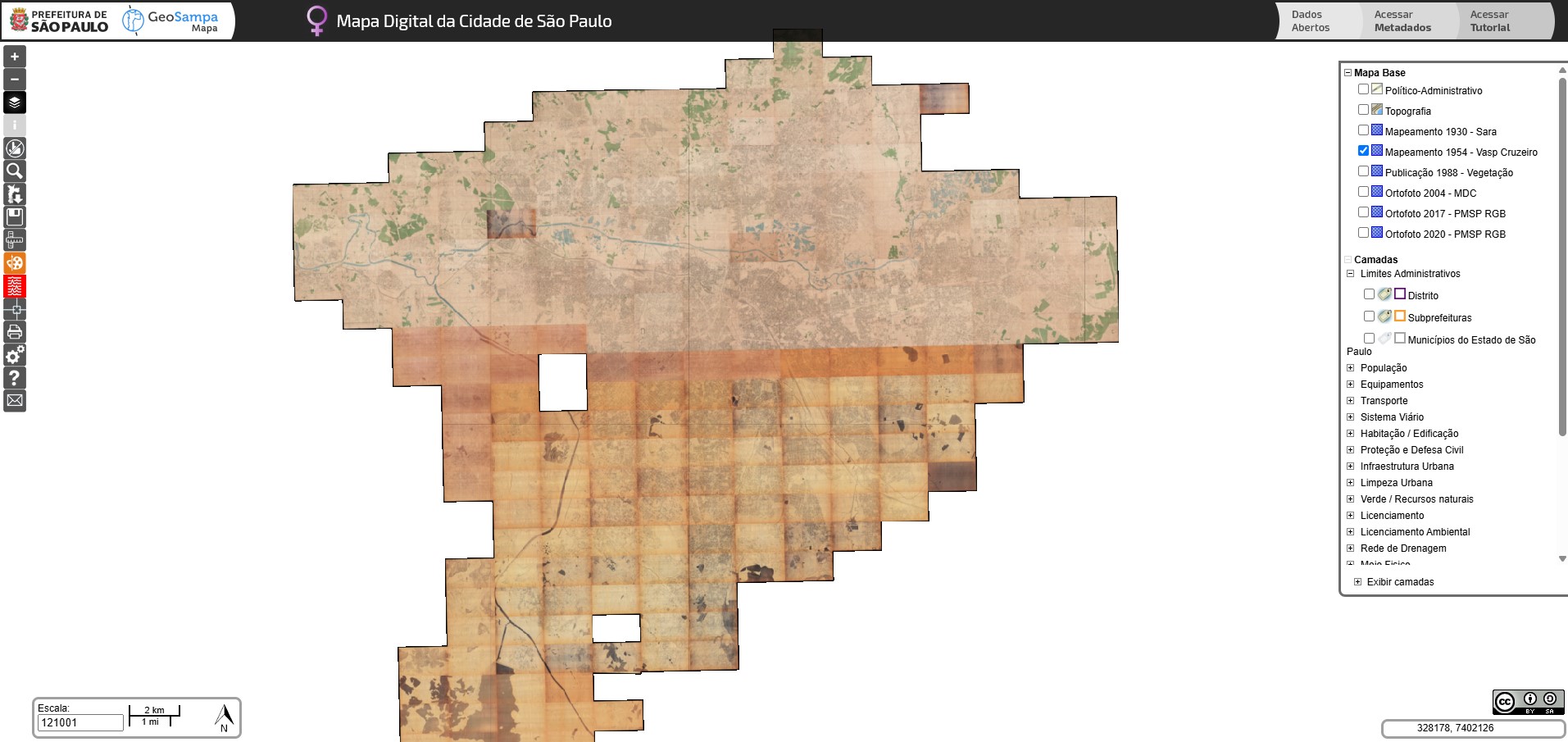
Mosaico da restituição cartográfica do Levantamento Aerofotogramétrico executado por VASP aerofotogrametria S/A e Serviços Aerofogramétricos Cruzeiro do Sul S/A em 1954. Ressalta-se que alguns arquivos (exemplo folhas f13-22u e f18-02u) não estão disponíveis devido estas folhas não terem sido encontradas no acervo, e por isso, o mosaico está incompleto.