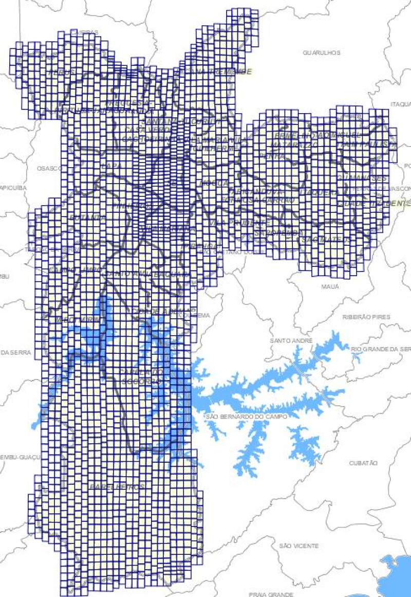
Índice das Ortofotos - 2000
Índice de ortofotos do ano de 2000, na escala 1:1000.
Simple
- Date (Publication)
- 2001-12-01
- Credit
-
O arquivo vetorial e os dados pertencem à Prefeitura. O seu uso é interno por meio de um Sistema de Consulta via Browser ou por meio de acesso direto com ferramenta de Geoprocessamento.
- Status
- Completed
Owner
Prefeitura de São Paulo - PMSP / Secretaria Municipal de Urbanismo e Licenciamento - SMUL
-
Coordenadoria de Produção e Análise de Informação - GEOINFO
Rua Líbero Badaró, 504, Centro - 17º andar
,
São Paulo
,
SP
,
01011-100
,
(11) 3397-3400
- Maintenance and update frequency
- Not planned
- Access constraints
- semRestricoes
- Use constraints
- Intellectual property rights
- Classification
- Unclassified
- Spatial representation type
- Vector
- Denominator
- 2000
- Character set
- UTF8
- Topic category
-
- Imagery base maps earth cover
N
S
E
W
))
- Reference system identifier
- EPSG / SIRGAS2000 / UTM zone 23S (EPSG:31983) / 8.5
- Topology level
- Full planar graph
- Geometric object type
- Surface
- Distribution format
-
-
Postgis - OGC
(
9.3
)
-
(
)
-
Postgis - OGC
(
9.3
)
- OnLine resource
- Sistema de Consulta do Mapa Digital da Cidade de São Paulo ( WWW:LINK-1.0-http--link )
- File identifier
- e9b8ea92-61be-4e73-9354-2cf1144a49bc XML
- Metadata language
- Portuguese
- Character set
- UTF8
- Hierarchy level
- Dataset
- Date stamp
- 2023-04-27T14:35:38
- Metadata standard name
-
ISO 19115:2003/19139
- Metadata standard version
-
1.0
Publisher
SMUL - Secretaria Municipal de Urbanismo e Licenciamento
Rua São Bento, 405, 17º andar, Centro
,
São Paulo
,
SP
,
01011-100
,
(11) 3113-7920
Overviews

thumbnail

large_thumbnail
Spatial extent
N
S
E
W
))
Provided by

Associated resources
Not available
 Catálogo de Metadados Geográficos